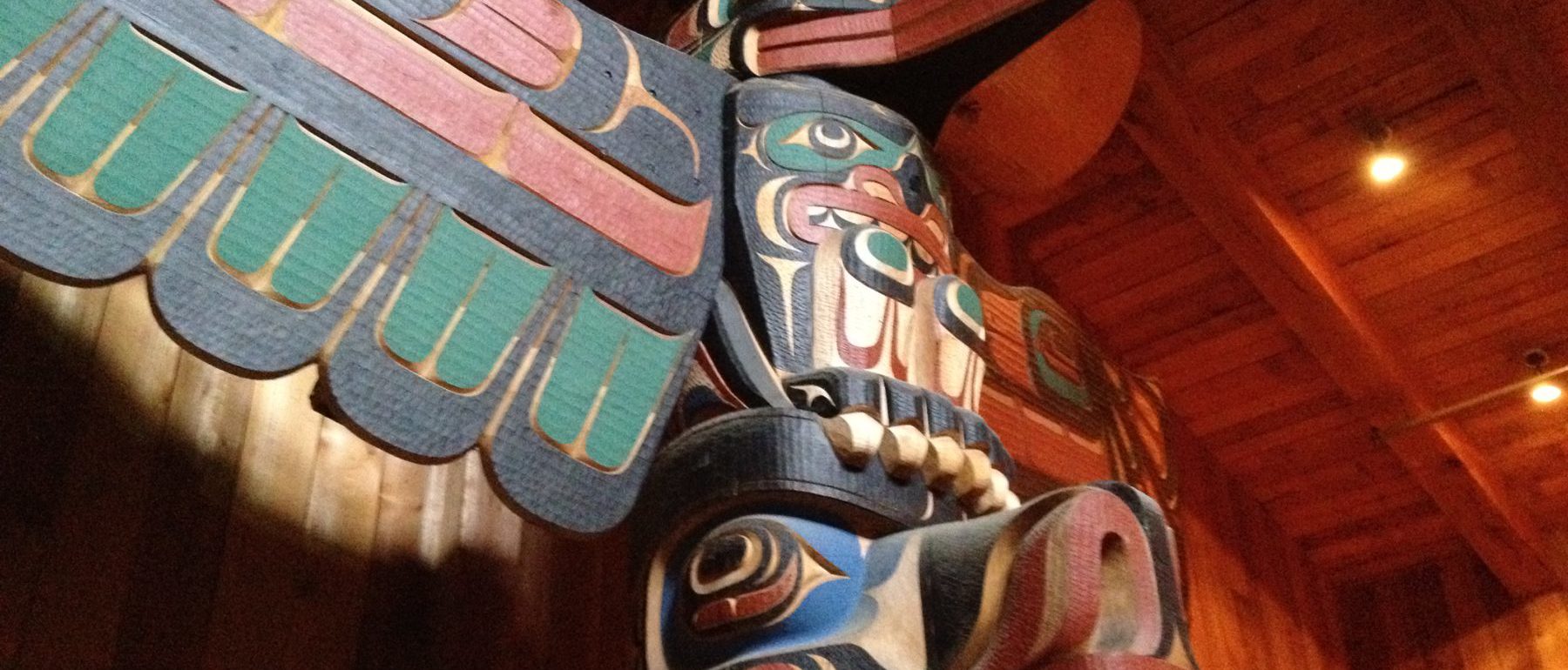
The Exploring the Great Bear Sea Curriculum Resources include an elementary cross-curricular unit for Grades 4-7, secondary units for Social Studies Grades 11 & 12 and Environmental Science Grades 11 & 12, and a Post-Secondary Resource. Using film segments, research data, local knowledge and place-based stories, the Great Bear Sea curriculum explores themes such as Indigenous Knowledge, collaborative science, marine planning, biodiversity, sustainable resource management and marine stewardship. The K – 12 resources are connected to the newly revised British Columbia curriculum and include full lesson plans with blackline masters as well as film clips to support classroom learning. The post-secondary resource provides tools and strategies for instructors across a variety of subject areas including environmental science, resource management, marine planning, social studies and Indigenous studies.
Great Bear Sea Film
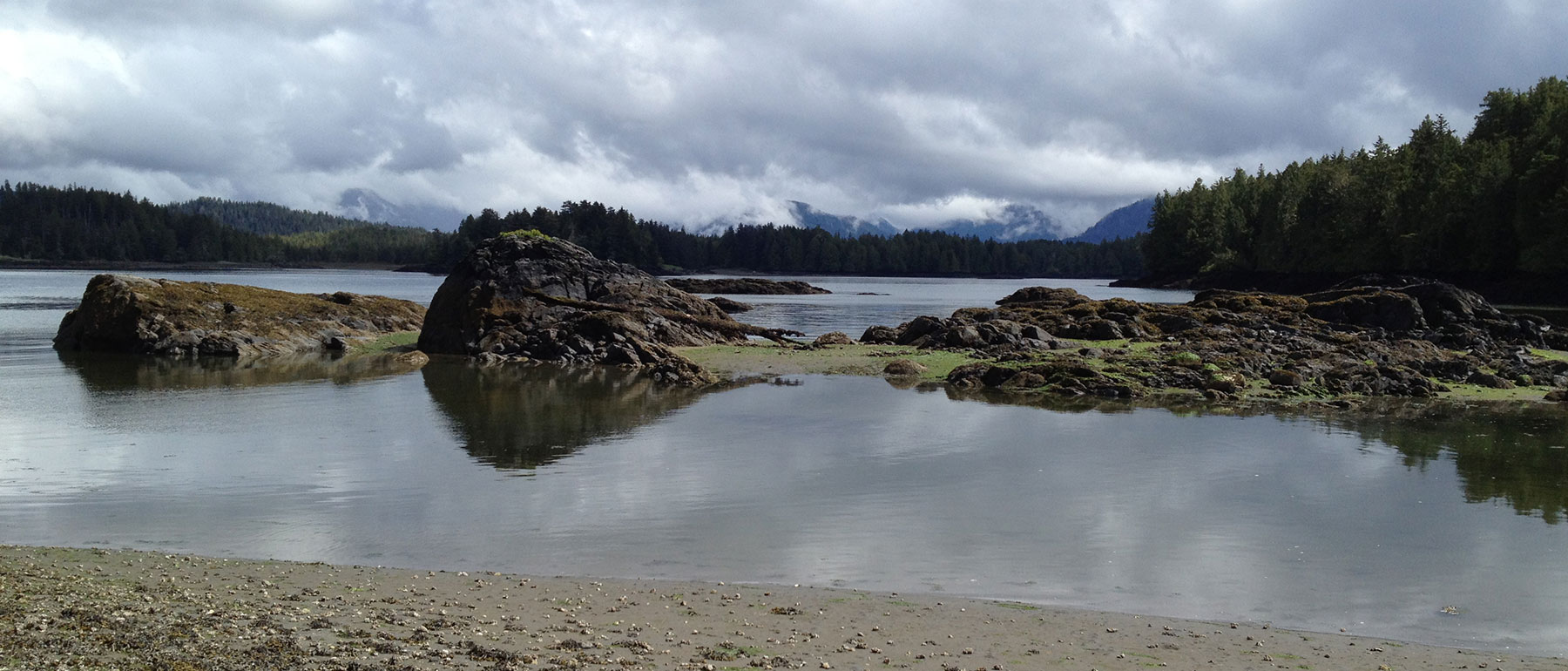
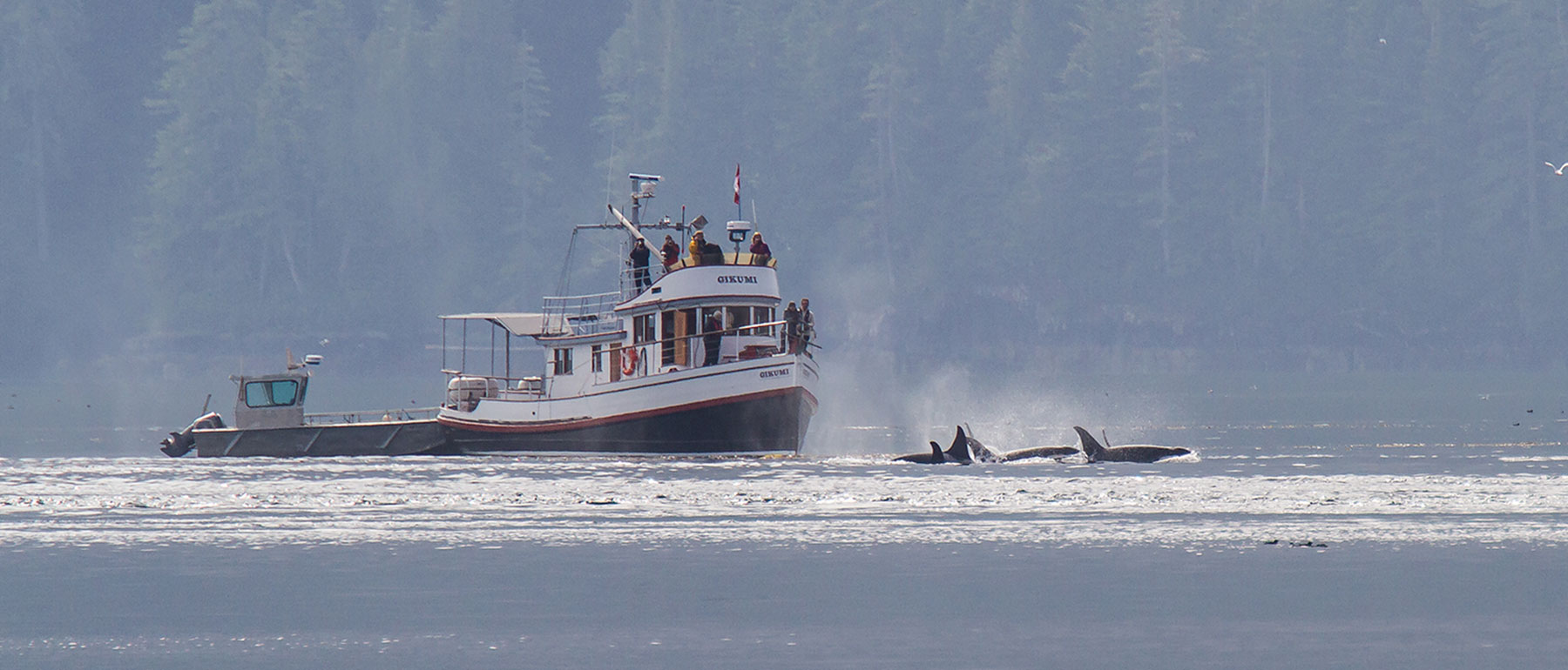
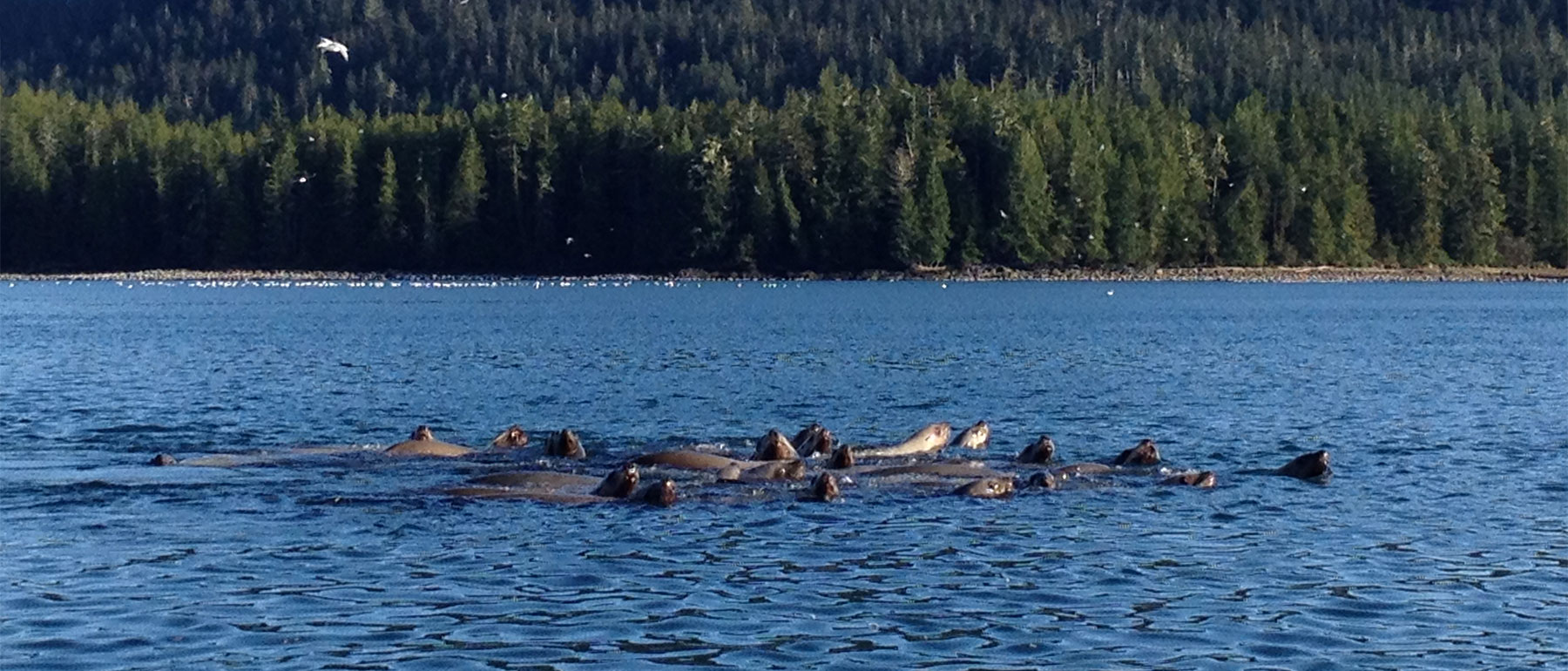
The film the Great Bear Sea: Reflecting on the Past, Planning for the Future, by Green Fire Productions, is a journey through the Great Bear Sea region, home to First Nations for thousands of years. The film explores this unique area – a wild expanse of ocean where whales, wolves, bears and humans thrive in rich coastal ecosystems. The Great Bear Sea is also a place where worlds collide – a place full of historic conflicts and looming battles over ocean resources. Now 18 First Nations and the Province of British Columbia (BC) have crafted marine plans for the Great Bear Sea to both protect their home and to build sustainable coastal economies through the Marine Planning Partnership (MaPP). Through the film, we meet people and communities along the coast of British Columbia who are working to implement BC’s marine plans.
The Great Bear Sea and Marine Planning in British Columbia
The Marine Planning Partnership (MaPP) represents an innovative response and approach to the challenge of ensuring sustainable use of the MaPP study area, or the Great Bear Sea, for generations to come. The MaPP is a co-led process between 18 First Nations and the Province of British Columbia to establish four area-specific marine plans and a regional planning framework that outline a variety of marine uses, activities and values. The year 2015 marked an important milestone for shaping the future of Canada’s North Pacific Coast and the Great Bear Sea. On April 27, 2015, after four years of planning, marine plans for four sub-regions (North Coast, Central Coast, Haida Gwaii, North Vancouver Island) were released and made public on the MaPP website. According to the BC and First Nations’ governments, these plans: “when implemented, will help to create opportunities for sustainable economic development, support the well-being of coastal communities and protect the marine environment.”
How to Use and Access Materials
Throughout the resources, images and colour resources noted with a * are available here on the website or on the Great Bear Sea USB Drive. We recognize that schools in rural or remote areas may have limited or inconsistent access to the internet and may not be able to download the resources. Please contact us for alternate arrangements or to receive the USB drive.
